
Bloomfield ZIP Code Directory Coverage
Official Bloomfield municipal and library addresses consistently use one standard ZIP code. The available evidence supports that row and no more. No official source inspected for this build verified a local PO-box-only ZIP, an institution-specific ZIP, a split, a realignment, a full edge-address exception table, or ZIP-by-ZIP registration figures. Keeping those unknowns visible is more useful than converting a general postal assumption into a false coverage map.
| ZIP | Areas Covered | Post Office | Notes |
|---|---|---|---|
| 07003 | Bloomfield Township standard street addresses; Township and library addresses use Bloomfield, NJ 07003 | Bloomfield postal service | Only standard Bloomfield ZIP verified in the official municipal and library address evidence |
The ZIP code directory is therefore a single verified standard-coverage record, not a claim that every location historically called Bloomfield or every point near a municipal line receives the same postal treatment. A ZIP is a delivery label. It does not replace the legal municipality, parcel boundary, SBL, or legal description.
Note: A returned ZIP can be accurate for mailing while still being the wrong key for a Township tax, deed, or jurisdiction search.
Bloomfield ZIP Code and Postal Limits
Postal geography does not match municipal borders. An address with Bloomfield in its mailing line can sit near or across a municipal line, and a parcel close to the Township edge can receive another mailing city. The research did not locate verified Bloomfield edge examples or a USPS boundary map, so a ZIP code directory cannot state which street segments cross a delivery boundary. Use the exact address response for postage, then use the municipality and parcel records for local-government research.
Postal mismatch. ZIP, postal city, Township boundary, county boundary, and parcel boundary are separate layers. Do not treat 07003 as a complete outline of Bloomfield Township.
For a current property question, an address that looks like Bloomfield should still be checked in the assessor record. For a historical question, the printed town name must remain tied to its publication year. Those separate checks avoid silently moving a record from a predecessor geography into the present Township.
Bloomfield Watsessing Station History
The postal record has one documented local date. A USPS bulletin says the Watsessing station was discontinued on January 1, 2005, while 07003 continued. That notice identifies a station change, not a new municipal boundary, a split ZIP, or a separate current ZIP category. It is useful context when an older address, letterhead, or directory mentions Watsessing, but it cannot be used to assign an unverified address today.
This is a small example of why postal history and parcel history have to stay separate. A station name can change while a tax map, block and lot, recorded deed, or municipal boundary uses another organizing system. Preserve the document date and the exact postal wording when comparing old material.
USPS Verifies Bloomfield ZIP Codes
Use USPS with the complete address whenever the question is “what ZIP should appear on this mail?” The direct lookup result was not rendered in the research capture, so the available image does not prove an address-specific Bloomfield result. It documents the official USPS route captured for Bloomfield postal research. A live address response should be saved with the query date, street suffix, directional prefix, and unit information used.
The available USPS source route is shown here; it is a Postal Service PO Box management page, not a rendered direct lookup result.
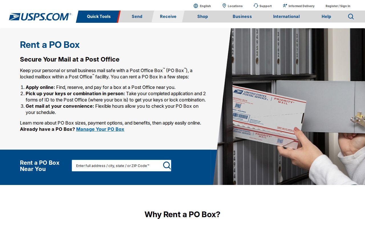
Use that source as a starting point for postal verification, then record the actual live response rather than treating the screenshot as an address match.
When an address fails, test the street suffix, directional prefix, and omitted apartment or unit separately. A postal result is a mailing clue. It is not evidence of municipal jurisdiction or of a person’s current residence.
Bloomfield ZIP Code Search Constraints
No official public tool reviewed here provides a ZIP-wide Bloomfield resident list. PROS is a parcel and assessment search, not a captured ZIP directory field. Its quick form shows street address, tax map/SBL, owner name, Street Finder, and municipality. It does not show a ZIP field. The Advanced Search link existed but its fields were not rendered, so it would be inaccurate to promise a ZIP filter or describe a ZIP-return format.
| Official tool | Captured search path | ZIP-specific finding |
|---|---|---|
| Essex County PROS | Street Address, Tax Map # / SBL, Owner Name, Street Finder, and Municipality | No ZIP field on the captured quick form; Advanced Search fields were not rendered |
| NJGIN Property Explorer context | Address, county, municipality, block, and lot | Parcel-oriented access, not a documented ZIP-wide resident result |
| NJ voter registration status | Official person/status route | Live fields were not rendered; it is not a verified ZIP-wide search |
There is a useful parcel fallback. NJGIN parcel data describes statewide Property Explorer context for address, county, municipality, block, and lot. The data follows the New Jersey GIS Parcel Mapping Standard, and the PIN matches the PAMS identifier. State-hosted owner names can be redacted under Daniel's Law, and county data may not edge-match adjoining counties.
The available NJGIN parcel-data source appears in this captured view.
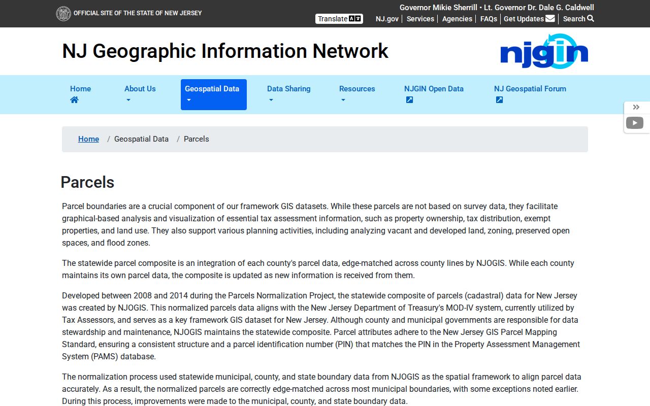
Its fields support parcel verification after postal confirmation, not a claim that the State page resolves ZIP boundaries or lists everyone in a ZIP.
Bloomfield ZIP Code Address Trail
Use an address-tailored process when a ZIP code must be connected to an official record. It starts with postal verification and narrows into property identifiers. Do not reverse the order by taking a general ZIP label as proof that a parcel belongs to Bloomfield Township. That shortcut loses the difference between a mailing label and a legal tax record.
- Submit the complete mailing address to USPS and save the returned ZIP and postal-city wording with the date of the check.
- Search the same physical address in Essex County PROS, using the Bloomfield municipality filter where needed.
- Capture the situs, SBL, and assessment-year label from the parcel card. Keep the tax mailing address distinct from the situs.
- Check the official Bloomfield tax maps for sheet, block, and lot context. The published sheets are illustrations and not to scale.
- Use NJGIN address, county, municipality, block, or lot access only as parcel context, then use PRESS when a recorded legal description or transfer date is needed.
Once the address has been narrowed to a road and parcel, the Bloomfield street directory gives the fuller address-keyed record trail. The ZIP code directory stops at postal verification and geographic context, because that is the part ZIP evidence can actually support.
Bloomfield ZIP Geography Before 07003
ZIP codes do not organize older Bloomfield records. The Historical Society's 1865 Bloomfield and Belleville map predates the later separations of Montclair and Glen Ridge and of Belleville and Nutley. An old directory, map, or deed that says Bloomfield can therefore describe a larger historic geography than the present Township. Compare its date and jurisdiction before adding a current postal cross-reference.
No official township-wide street-renumbering year or readdressing project was verified. For a pre-ZIP address, use the printed street and number with the directory street index, nearby houses, tax maps, deeds, newspapers, the 1906 Mueller Atlas, and census enumeration material. Do not invent a renumbering explanation where the research found none.
The official Bloomfield tax-map source supplies a documented visual fallback for the current parcel layer.
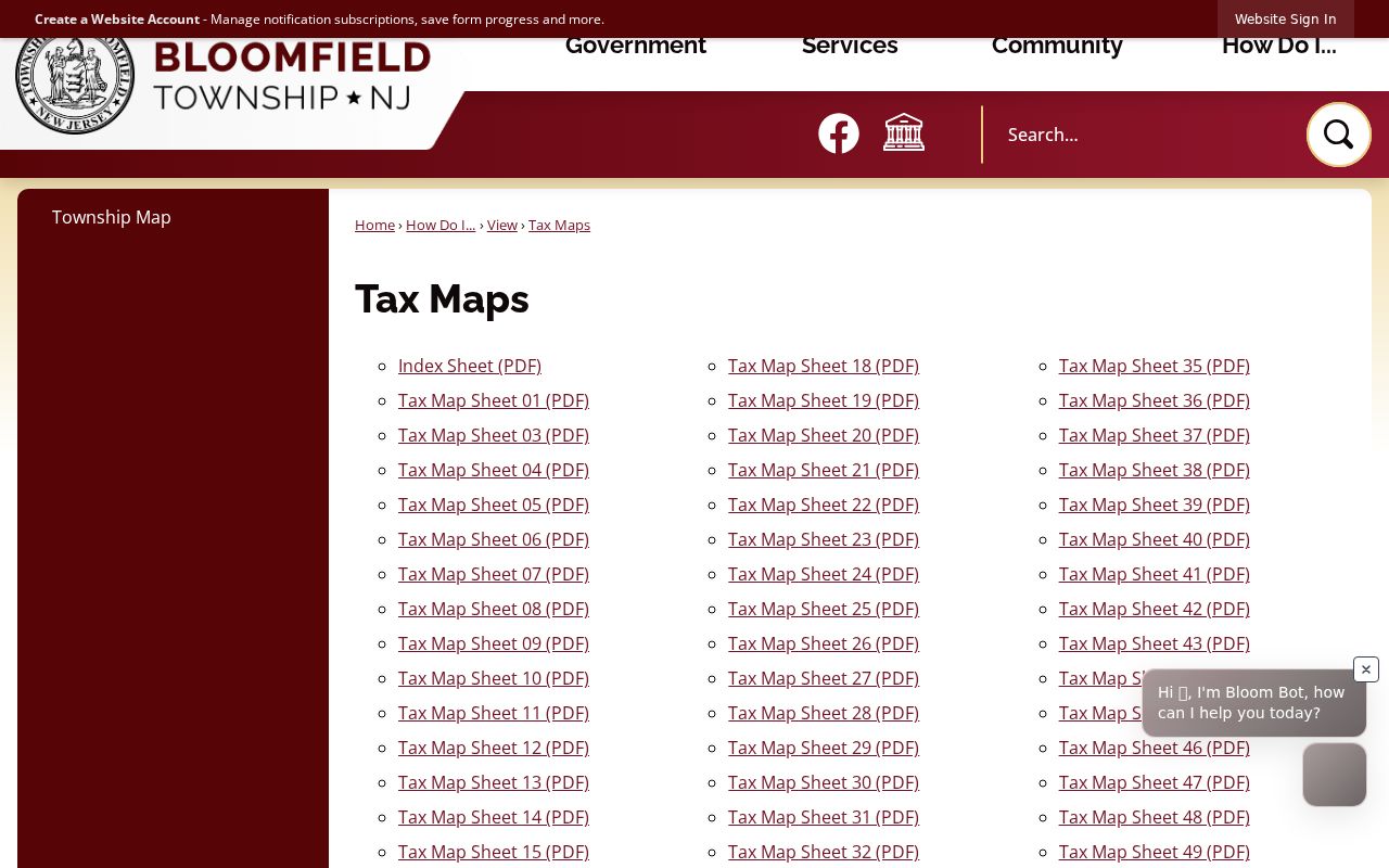
The tax-map sheets help reconcile present parcel identifiers, but they do not turn a historical postal or place name into a current boundary finding.
Bloomfield ZIP Code Mismatch Limits
Postal terms need plain definitions. They describe delivery operations, while Township records use other keys. A ZIP+4 adds delivery detail to a base ZIP. A PO-box ZIP is assigned for post-office boxes. A unique ZIP serves a specific organization. A carrier route is the delivery route used for sorting and delivery. No local PO-box-only ZIP, unique ZIP, carrier-route detail, edge exception, or ZIP split was verified in the official sources reviewed for Bloomfield.
- ZIP code
- The postal delivery code for a mailing address. It is not a municipal-boundary or parcel identifier.
- ZIP+4
- An added four-digit delivery detail attached to the base ZIP. USPS must verify it for a particular address.
- PO-box ZIP
- A ZIP used for post-office box delivery. No Bloomfield PO-box-only ZIP was verified in the reviewed official sources.
- Carrier route
- A delivery grouping used by USPS. No Bloomfield route-specific public record or ZIP route was verified here.
For “which ZIP covers this address,” stop with USPS and the exact mailing address. For “which Township record covers this parcel,” use Bloomfield municipality, SBL, and the legal description. For “who appeared here in an earlier year,” use the dated directory and census route. Those questions may start from the same address, but they require different evidence.